Site Map
The site is easily accessible by regular sedan.
Please take care when exiting or entering the highway.
See Amenities page for details on the available site facilities.
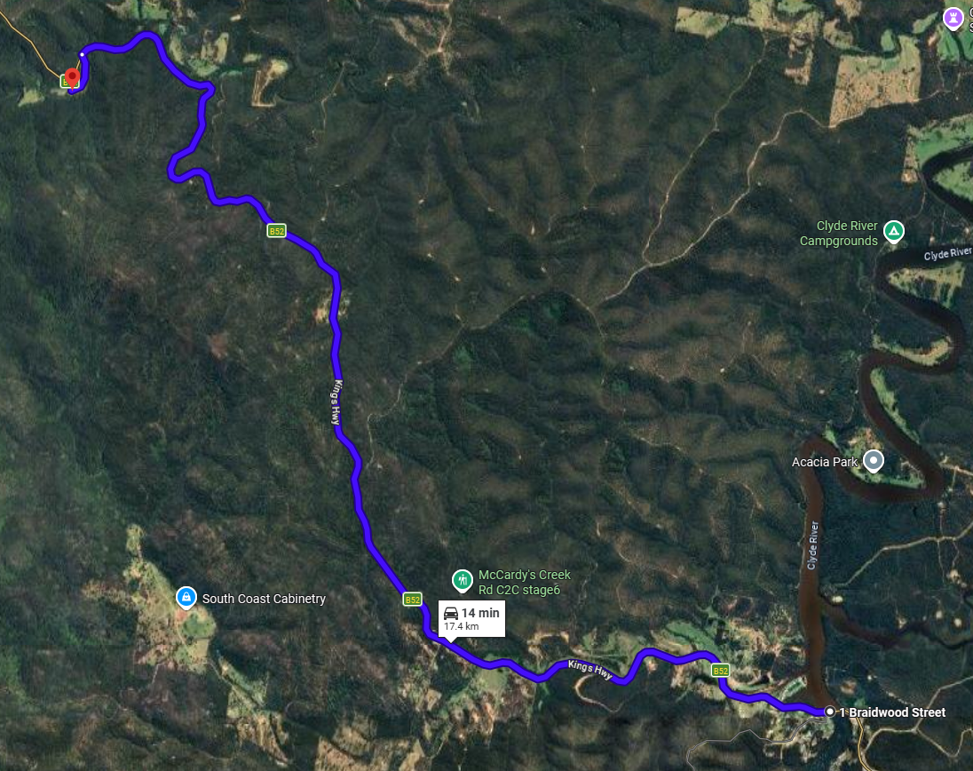
Accessing Riverdell from the Canberra/Braidwood direction
As you descend Clyde Mountain we located about 10 minutes past Pooh Bear corner. The entrance is a sharp right turn across the highway onto Cabbage Tree Firetrail before the Cabbage Tree Creek bridge. It is at the bottom of steep descent so indicate and brake early. There is a slow vehicle lane that can be used to let other traffic pass a kilometer before the site. There are turning points not far past the entrance so don’t worry if you miss it.
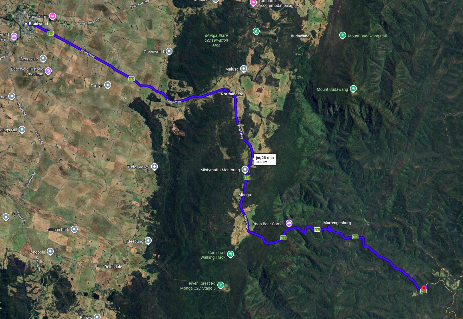
Accessing Riverdell from the Batemans Bay direction
As you ascend Clyde Mountain we located about 15 minutes past Nelligen. The entrance is a left turn onto Cabbage Tree Firetrail after the Cabbage Tree Creek bridge.